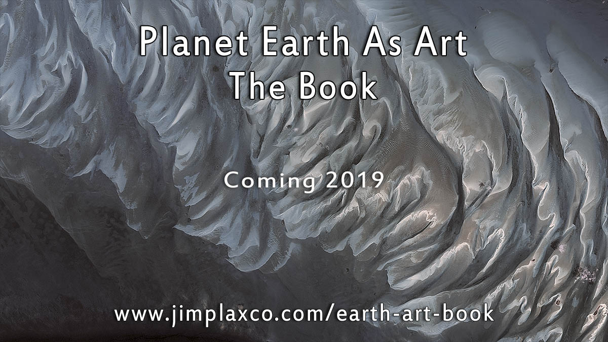
Planet Earth as Art – The Book
Consider the view of an astronaut in space several hundred kilometers above the surface of the Earth. Consider the Earth as a vast canvas upon which nature has used the natural laws of the universe and time to create a colossal artwork. In my book, tentatively titled
Planet Earth as Art, I ask the reader to think of our home planet when viewed from space as being a work of art.
In considering this proposition, I will ask you to consider the nature of abstract art. The artist uses line, shape, value, and color to create a non-representational composition that has aesthetic value. Now consider nature. Nature creates representational art that when viewed from a certain perspective or frame is abstract in appearance and aesthetically appealing. Just as the artist makes deliberate choices in arranging the elements of a composition on his canvas, so to does nature. And by deliberate, I mean in terms of being bounded by the laws that govern the way the universe works.
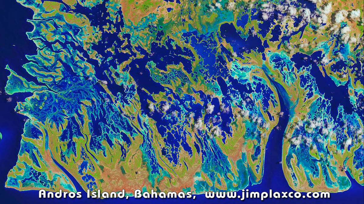
Landsat image of Andros Island, Bahamas. Image processed by Jim Plaxco.
Besides the aspect of conscious intent, there is another area in which nature’s artwork differs from that of the human artist. That difference is that nature works on a much broader range of scales – both in terms of time and scope. In my
Planet Earth As Art book, I present Earth as a work of art using both a specific scale and vantage point. That is, the Earth as viewed from an overhead distance of 700 kilometers using a camera system that can produce images with a resolution of 15 meters per pixel.
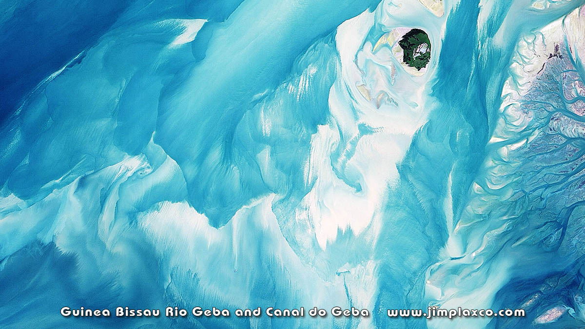
Landsat Guinea Bissau Rio Geba and Canal do Geba. Image processed by Jim Plaxco.
In fact, it is a constancy of scale that is one of the factors making
Planet Earth as Art a unique book. Because every image in the book is at the same scale, the reader can flip back and forth between images and make direct comparisons between them. To help readers understand the scale of the landforms and features seen in the photographs, I include reference images of several cities from around the world. For example, if you have ever been to Grant Park in Chicago and can visualize its size as you walked around Buckingham Fountain, you can look at that photograph in the book and flip to a page that shows a seif dune in the Rub’ al Khali desert in Saudi Arabia. Being able to do a direct comparison will help the reader to better comprehend the size of these sand dunes.
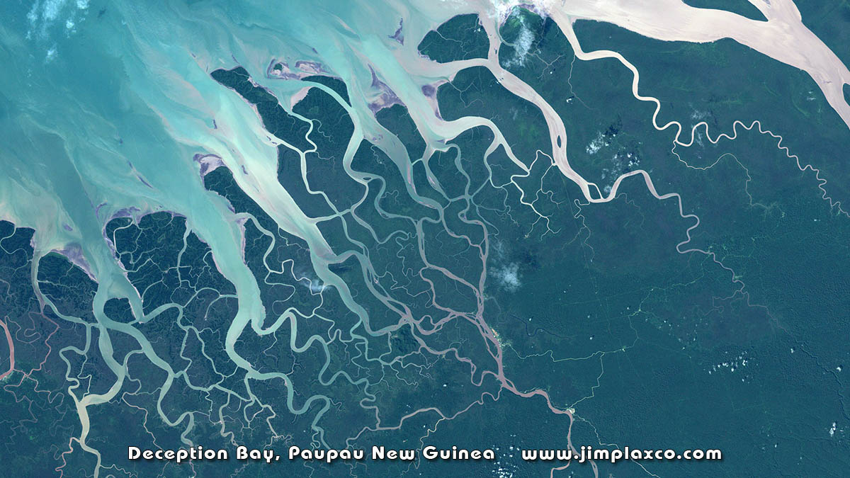
Landsat image Deception Bay, Paupau New Guinea. Image processed by Jim Plaxco.
The three images shown above are examples of Landsat images that I have processed for use here. I must point out that these images are not shown at the same scale as the images which will be in the book. For example, the image of Andros Island, Bahamas is presented at 30 meters per pixel.
To stay informed on the progress of the book Planet Earth As Art, and to get an advance look at images from the book, as well as images considered for inclusion, and supplemental information about the book project, please subscribe to Jim Plaxco’s Artsnova Digital Art and Photography Newsletter by clicking the button below.