
Planet Earth as Art: The View from Space
Live Presentation
Planet Earth as Art: The View from Space is an artistic exploration of our home planet. Using satellite images, primarily from the Landsat 8 mission, I make the case that Earth, from a visual perspective, qualifies as a work of art.
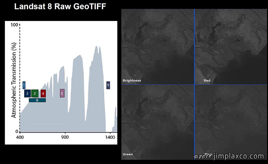
The program opens with a brief introduction to the topic of art followed by a short review of remote sensing, the data acquisition process, and the image processing workflow used to create the images shown in the presentation.
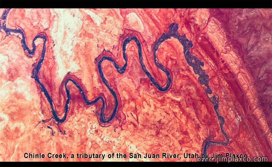
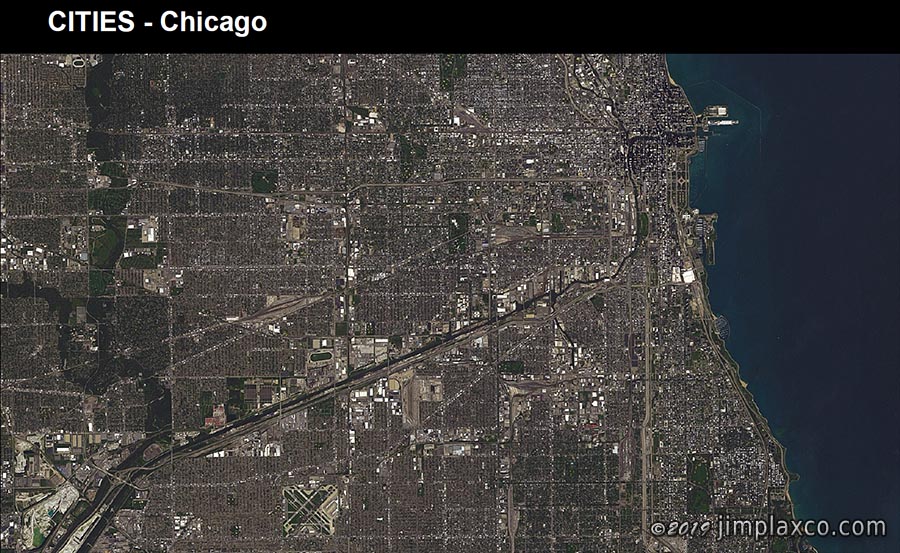
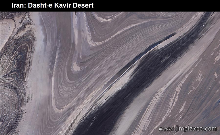
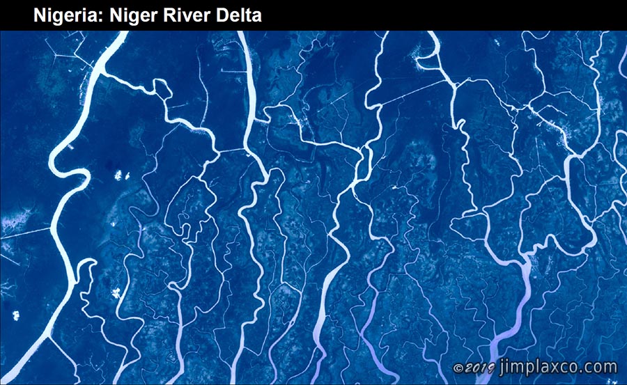
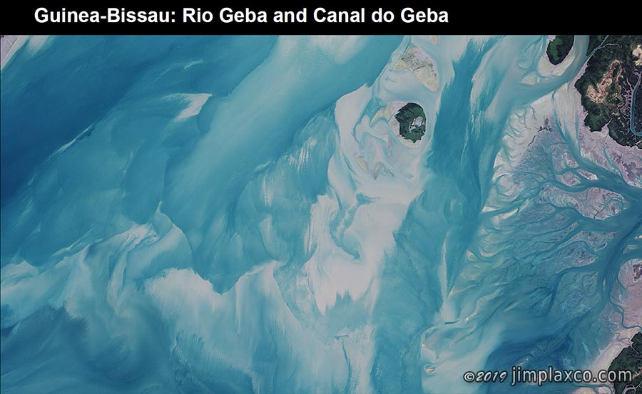
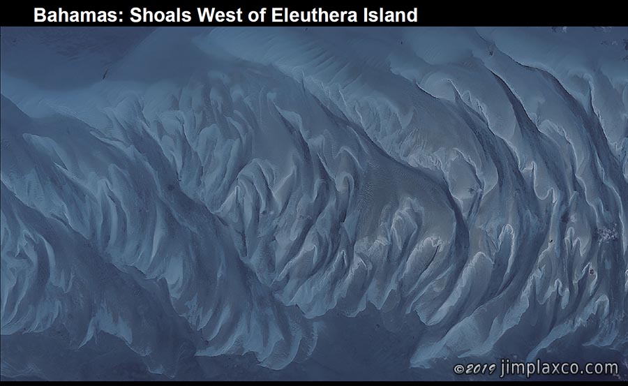
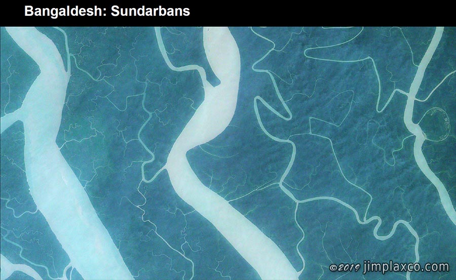
After reviewing several images of cities for the purpose of establishing a visual scale for the audience, the presentation proceeds to offer a variety of images to support the concept that Earth is art. Features include river meanders, deltas, permafrost terrain, ice flows, glaciers, basins, dune fields, volcanoes, estuaries, islands, shoals, and atmospheric phenomena.
Nominally the presentation lasts 50 minutes but can be shortened or lengthened to meet the needs of the host. Additionally, more or less time can be devoted to the subjects of satellite remote sensing and/or image processing depending on the interests of the host and audience.
To learn more or to make arrangements for me to speak to your group, you may contact me by either using the contact form or sending email to:
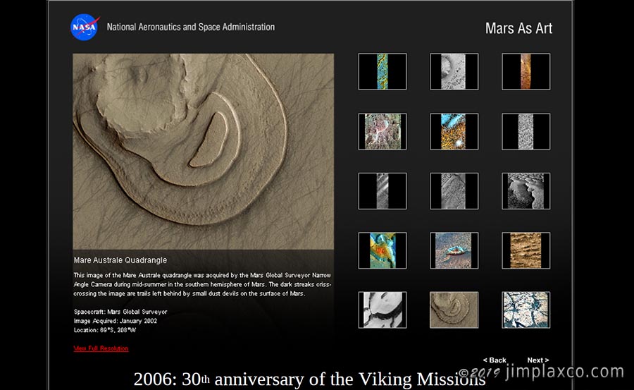
Following are a few sample slides pulled from the presentation.
Earth as Art Related Pages
- Planet Earth as Art: The Book
- Planet Earth Satellite Imagery on Redbubble
- Planet Earth as Art Presentation References